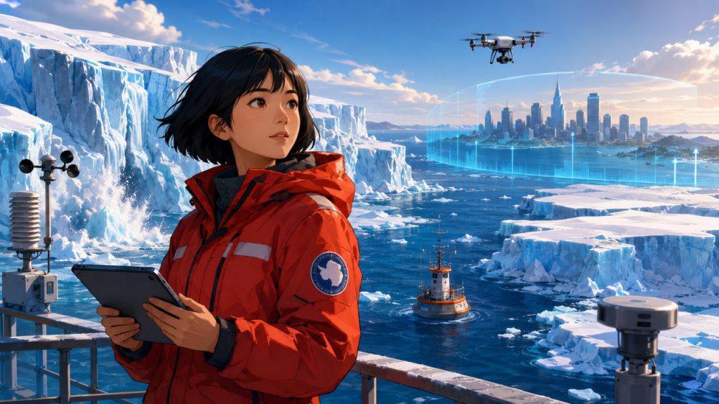
Greenland and Antarctica are the two largest ice sheets on Earth. Together, they store enough frozen water to reshape coastlines worldwide if major portions were to melt. For most people, sea level rise feels slow and distant, but for coastal cities, island nations, river deltas, ports, and low-lying communities, it is already becoming a practical planning problem.
The danger is not that all ice will melt overnight. The real issue is that ice sheets respond to warming over decades, centuries, and even millennia. Some changes are gradual, while others may accelerate if critical thresholds are crossed. This makes Greenland and Antarctica central to every serious sea level rise scenario.
Scientists now use satellites, ocean measurements, ice-flow models, and climate projections to estimate how much water may rise under different emissions pathways. The exact numbers vary, but the direction is clear: the more the planet warms, the higher and longer-lasting sea level rise becomes.
Why Ice Sheets Matter So Much
An ice sheet is a massive body of land-based ice covering a large region.
Greenland and Antarctica are not like floating sea ice. They sit on land.
When land ice melts or flows into the ocean, it adds new water to the sea.
That is why ice sheets are major contributors to sea level rise.
NASA reports that the Greenland and Antarctic ice sheets together store about two-thirds of Earth’s freshwater, and satellite observations show both have been losing mass since 2002. NASA estimates Antarctica is losing about 135 billion tons of ice per year, while Greenland is losing about 264 billion tons per year.
Melting land ice raises sea level; melting floating sea ice mostly does not.
Greenland: Surface Melting and Runoff
Greenland is especially vulnerable because much of its surface melts during warmer summers.
Meltwater can flow into rivers, lakes, and eventually the ocean.
Greenland loses ice through:
- Surface melting
- Meltwater runoff
- Glacier acceleration
- Iceberg calving
- Warmer ocean water attacking glacier fronts
NASA’s sea level monitoring shows that Greenland is currently losing about 270 billion tons of ice per year, contributing directly to rising seas.
Because Greenland is located in the Arctic, it is affected by strong polar amplification, meaning the region warms faster than the global average.
Greenland is one of the clearest examples of how warmer air can directly turn ice into sea level rise.
Antarctica: A Colder but More Complex Threat
Antarctica is much colder than Greenland, so surface melting is less dominant across most of the continent.
The bigger danger comes from below.
Warm ocean water can flow under floating ice shelves and melt them from underneath.
Ice shelves act like buttresses, slowing the movement of glaciers behind them.
When ice shelves thin, crack, or collapse, inland glaciers can flow faster into the ocean.
Antarctica is especially important because parts of the West Antarctic Ice Sheet rest on bedrock below sea level. This makes them vulnerable to marine ice sheet instability, where retreat can become self-reinforcing once it begins.
Antarctica may look stable from above, but some of its most important changes are happening where warm ocean water meets ice from below.
The Main Sea Level Rise Scenarios by 2100
Sea level rise depends strongly on future emissions.
According to the IPCC Special Report on the Ocean and Cryosphere, global mean sea level is projected to rise by about 0.43 meters by 2100 under a low-emissions pathway and about 0.84 meters under a high-emissions pathway, with likely ranges around those estimates.
A simplified way to think about scenarios:
- Low-emissions scenario: slower warming, lower ice loss, more manageable adaptation.
- Intermediate scenario: continued rise requiring major coastal planning.
- High-emissions scenario: faster ocean warming, greater Antarctic uncertainty, higher risk of extreme outcomes.
- Long-term scenario beyond 2100: sea level may keep rising for centuries even if temperatures stabilize.
The year 2100 is not the finish line.
It is only a checkpoint.
Sea level rise is a long-term commitment created by today’s warming.
Why Antarctica Creates the Biggest Uncertainty
Greenland’s response is serious but easier to model in some ways because surface melting is strongly tied to temperature.
Antarctica is harder.
Its future depends on complex interactions between:
- Ocean temperature
- Ice shelf stability
- Glacier flow
- Bedrock shape
- Snowfall changes
- Ice cliff behavior
- Ocean circulation
- Atmospheric patterns
The IPCC notes that uncertainty beyond 2050 increases substantially, partly because of the response of the Antarctic Ice Sheet in a warmer world.
Some Antarctic regions may gain snowfall in a warmer atmosphere, but that does not necessarily cancel out dynamic ice loss from vulnerable glaciers.
The largest question in future sea level rise is how quickly Antarctica’s marine-based ice may respond to warming oceans.
What Happens After 2100?
Most public discussions stop at 2100, but ice sheets do not.
If warming remains high, sea level could continue rising for hundreds or thousands of years.
The IPCC’s long-term sea level assessments consider thresholds of 0.5, 1.0, 1.5, and 2.0 meters of global mean sea level rise after 2100, depending on ice-sheet behavior and emissions pathways.
This matters because coastal infrastructure is built for long lifetimes.
Ports, subway systems, airports, sewage networks, seawalls, and neighborhoods may last many decades.
Planning only for the next few years can create expensive future risks.
Sea level rise is slow enough to plan for, but persistent enough to punish short-term thinking.
Regional Sea Level Rise Is Not Equal Everywhere
Global mean sea level is only an average.
Local sea level can rise faster or slower depending on:
- Land sinking
- Land uplift
- Ocean currents
- Gravity changes from melting ice sheets
- Coastal erosion
- Storm surge patterns
- Human groundwater extraction
For example, river deltas can face extra risk because land may subside while the ocean rises.
This is why local sea level projections are essential.
A global average cannot tell a city exactly how high to build a seawall or where to allow new housing.
Every coastline needs its own risk map.
The Human Cost of Rising Water
Sea level rise affects much more than beaches.
It can threaten:
- Drinking water supplies
- Coastal housing
- Ports and shipping
- Roads and railways
- Power plants
- Sewage systems
- Farmland
- Cultural heritage sites
- Insurance markets
Saltwater intrusion can contaminate aquifers and agricultural land.
Even before permanent flooding occurs, higher seas make storm surges more dangerous.
A storm that was once rare can become more damaging when it starts from a higher baseline water level.
Sea level rise turns ordinary coastal storms into more expensive and more dangerous events.
Expert Perspective
Climate scientists and sea level experts consistently emphasize that uncertainty is not a reason for inaction. It is a reason for flexible planning.
The IPCC highlights that sea level rise beyond mid-century depends strongly on emissions and ice-sheet response, especially in Antarctica.
NASA’s satellite monitoring also shows that both Greenland and Antarctica are already losing mass, which means sea level rise is not just a future scenario but an observed process.
Researchers studying Antarctic ice dynamics warn that some mechanisms could increase ice discharge more rapidly under high warming, which is why coastal planning must consider low-probability but high-impact outcomes.
The scientific message is clear: we may not know the exact centimeter, but we know enough to prepare.
How Societies Can Respond
There are two main responses to sea level rise: reduce the cause and adapt to the impact.
Reducing the cause means cutting greenhouse gas emissions to slow warming.
Adaptation includes:
- Coastal defenses
- Wetland restoration
- Flood-resistant buildings
- Managed retreat from high-risk zones
- Better drainage systems
- Updated building codes
- Climate-aware insurance
- Long-term urban planning
Natural defenses such as mangroves, salt marshes, dunes, and coral reefs can also reduce wave energy and protect coastlines.
However, adaptation becomes harder and more expensive under high-emissions scenarios.
Every fraction of a degree avoided reduces long-term pressure on ice sheets and coastlines.
Interesting Facts
- Greenland and Antarctica together contain about two-thirds of Earth’s freshwater.
- Greenland is currently losing roughly 270 billion tons of ice per year, according to NASA sea level monitoring.
- Antarctica is colder than Greenland, but warm ocean water can melt ice shelves from underneath.
- The IPCC projects global mean sea level rise by 2100 of about 0.43 meters under low emissions and 0.84 meters under high emissions.
- Sea level rise will continue beyond 2100 because ice sheets and oceans respond slowly to warming.
- Local sea level rise can differ greatly from the global average due to land movement and ocean circulation.
- Floating sea ice does not raise sea level much when it melts, but land ice does.
Glossary
- Ice Sheet – A massive layer of land-based ice covering a large area, such as Greenland or Antarctica.
- Sea Level Rise – The increase in the average height of the ocean over time.
- Ice Shelf – A floating extension of a land-based ice sheet or glacier.
- Calving – The breaking off of ice chunks from glaciers or ice shelves into the ocean.
- Marine Ice Sheet Instability – A process where ice grounded below sea level can retreat rapidly once destabilized.
- Thermal Expansion – The expansion of seawater as it warms, contributing to sea level rise.
- Saltwater Intrusion – The movement of seawater into freshwater aquifers or soils.
- Managed Retreat – The planned relocation of people or infrastructure away from areas at high risk of flooding or erosion.