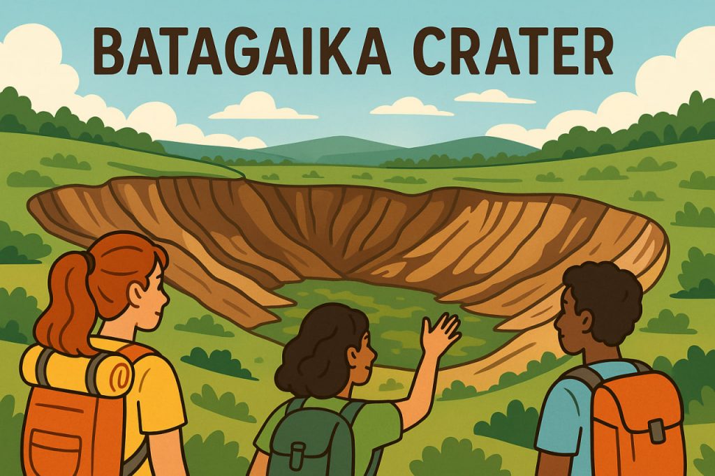
The Batagaika Crater, located in the Sakha Republic (Yakutia) in Siberia, is one of the most dramatic geological formations linked to climate change and permafrost thaw. Often referred to as a “megaslump” rather than a traditional impact crater, it formed due to rapid warming and the collapse of ancient frozen ground layers. As temperatures rise and permafrost melts, the soil loses stability, causing the land to sink and expand outward. This process has exposed sediments, fossils, and soil layers that date back tens of thousands of years, offering scientists a unique window into prehistoric ecosystems. The Batagaika Crater continues to grow each year, making it a symbol of both geological discovery and environmental concern.
Formation and Expansion
The crater began forming in the 1960s, when deforestation and rising temperatures destabilized deep permafrost layers. Without the insulating protection of trees and vegetation, the ground thawed at increasing speed, causing the surface to collapse. Unlike volcanic craters or meteorite impacts, this landform is created purely by the melting and retreat of frozen earth. Today, the crater measures over 1 kilometer in length and continues to expand as global temperatures rise. Researchers estimate that its size increases by several meters each year, exposing new geological strata and accelerating landscape change. This makes the Batagaika Crater one of the most rapidly evolving geological structures on the planet.
What the Crater Reveals About the Past
As permafrost retreats, it reveals layers of soil, plant remains, and animal fossils that have been frozen for tens of thousands of years. These remains provide insight into the prehistoric ecosystems that existed during the Pleistocene era. Mammoth bones, ancient pollen, and preserved plant material help scientists reconstruct past climates and understand long-term environmental cycles. This natural archive allows researchers to compare historical warming periods with current climate conditions, helping predict future ecological changes. The Batagaika Crater is therefore not merely a collapsing landscape, but a valuable scientific resource.
Expert Insight (Paleoclimatology):
“The exposed layers act like pages of a climate history book. Each meter of depth reveals environmental conditions from a different period.”
Environmental and Climate Implications
The expansion of the Batagaika Crater is directly linked to the accelerating thaw of permafrost, a significant global climate concern. Permafrost contains massive amounts of stored carbon in the form of frozen organic material. As it thaws, this carbon is released into the atmosphere in the form of carbon dioxide and methane, both of which intensify the greenhouse effect. This creates a feedback loop: warming causes thawing, thawing releases greenhouse gases, and greenhouse gases cause more warming. The crater therefore serves as a visual and scientific indicator of ongoing climate change. Researchers monitor it closely to understand how the Arctic environment will transform in the decades to come.
Local and Global Significance
For local communities, the expanding crater symbolizes the instability of land in regions traditionally defined by frozen ground. Roads, buildings, and traditional reindeer herding routes can be affected by shifting soil and sinkholes. Globally, the Batagaika Crater has become an emblem of climate dynamics visible in real time. Scientists, environmentalists, and educators use it as a case study to illustrate how subtle changes in temperature can lead to profound landscape transformations. The site also attracts scientific expeditions, drone mapping studies, and climate model research, making it a focal point in Arctic environmental science.
Interesting Facts
- The Batagaika Crater is sometimes nicknamed the “Gateway to the Underworld” by local residents.
- Some exposed layers inside the crater are over 200,000 years old, making it one of the most valuable permafrost archives.
- The crater grows by up to 10–30 meters per year depending on seasonal temperature fluctuations.
Glossary
- Permafrost — Permanently frozen soil that remains below 0°C for at least two consecutive years.
- Megaslump — A large land depression formed by the melting and collapse of thawing permafrost.
- Pleistocene — Geological period spanning from 2.6 million to 11,700 years ago, known for repeated ice ages.