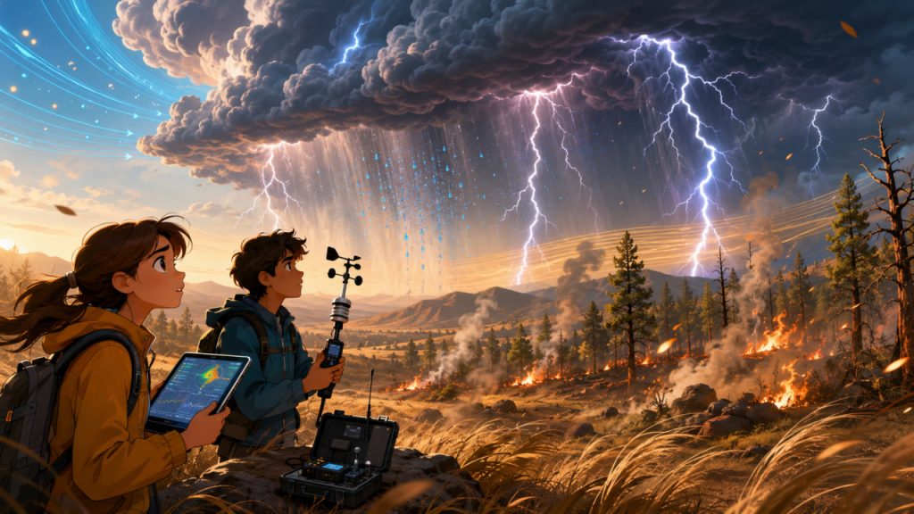
A thunderstorm usually makes people think of dark clouds, heavy rain, and the smell of wet ground. But some storms bring something far more dangerous: lightning without enough rain to wet the land.
These storms are called dry thunderstorms, and they can ignite wildfires in forests, grasslands, shrublands, and mountain regions. The danger is simple and frightening. A lightning strike hits dry vegetation, but the rain evaporates before it reaches the surface or falls too lightly to reduce fire risk.
Dry lightning is not new, but hot, dry landscapes are making its consequences more severe.
As climate change increases heat, drought stress, and fire weather in many regions, dry thunderstorms are becoming a more important part of wildfire risk.
What Is a Dry Thunderstorm?
A dry thunderstorm is a thunderstorm that produces lightning but little or no rain at the ground.
Rain may form inside the cloud, but it can evaporate while falling through a hot, dry layer of air below. This is called virga. From a distance, you may see streaks of precipitation hanging beneath the cloud, but the ground remains dry.
The U.S. National Weather Service explains that dry thunderstorms are often used in the wildland firefighting community to describe storms that produce little or no surface precipitation, and that drier storms are more efficient at starting fires when dry fuels are present.
That combination matters: lightning provides the spark, while drought-stressed vegetation provides the fuel.
Why Lightning Without Rain Starts Fires
Lightning can reach temperatures hotter than the surface of the Sun for a brief instant. When it strikes a tree, dry grass, brush, or forest floor, it can ignite material immediately or create a hidden smoldering fire.
Sometimes the fire does not explode at once. It may smolder inside a tree, root system, or patch of duff before wind and heat turn it into an active wildfire.
Dry thunderstorms are especially dangerous because they often bring gusty winds. These winds can fan flames, push embers, and make small ignitions spread quickly.
The National Weather Service notes that gusty winds often accompany thunderstorms that produce dry lightning, and that dry vegetation plus critical weather conditions can create high fire danger.
A dry thunderstorm can deliver three fire ingredients at once: ignition, wind, and unstable air.
Why Rain Does Not Always Reach the Ground
For rain to help prevent fire, it must reach the surface in meaningful amounts.
In dry thunderstorm conditions, the cloud may be high-based, meaning the bottom of the cloud sits far above the ground. Beneath it lies a deep layer of warm, dry air.
As raindrops fall through that air, they evaporate. This evaporation cools the air, making it sink rapidly and create strong downdrafts. When the downdraft hits the ground, it can spread outward as gusty wind.
So the storm can produce lightning and wind while delivering almost no useful moisture.
The storm looks active in the sky, but the land below remains dry enough to burn.
Why Dry Thunderstorms Are Linked to Wildfire Seasons
Dry thunderstorms are most dangerous when they arrive after a long hot, dry period.
Vegetation becomes fuel when it loses moisture. Grasses cure. Leaves dry. Dead branches become brittle. Forest litter, needles, bark, and shrubs become easier to ignite.
The National Weather Service warns that the first significant lightning occurrence after a hot and dry period can readily start wildfires, even when thunderstorms are scattered.
This is why fire agencies pay close attention to lightning forecasts during summer and early autumn.
One storm system can produce hundreds or thousands of lightning strikes over remote areas. If those strikes occur where fuels are dry, firefighters may face many new ignitions at once.
Why Climate Change Makes the Risk Worse
Dry lightning itself is a weather event. But wildfire risk depends on the landscape it strikes.
Climate change increases wildfire danger mainly by increasing heat, drying vegetation, intensifying drought in some regions, and lengthening fire seasons.
Hotter air can pull more moisture from soils and plants. This creates drier fuels. When lightning strikes these fuels, ignition becomes more likely.
The biggest change is not that lightning suddenly became magical. The biggest change is that more landscapes are becoming ready to burn.
Are Dry Thunderstorms Becoming the “New Normal”?
The phrase “new normal” should be used carefully.
Dry thunderstorms have always existed in fire-prone regions, especially in parts of the western United States, Canada, Australia, the Mediterranean, and other areas with dry summers.
What is changing is the background risk.
Longer heat waves, lower humidity, drought-stressed forests, insect-damaged trees, and accumulated dry fuels can make lightning-caused fires more destructive. In some northern regions, research suggests lightning-ignited fires are increasing as warming changes fire conditions.
NASA reported that lightning-ignited fires in far northern North America increased by about 2 to 5 percent per year since 1975 in a NASA-funded study, a trend described as consistent with climate change.
So dry thunderstorms may not be “new,” but their fire impact is becoming harder to manage.
The Role of Wind and Outflow Bursts
Dry thunderstorms often produce sudden, erratic winds.
These winds can come from downdrafts and outflow boundaries, where cooled air rushes outward from the storm. Firefighters fear these conditions because wind direction can change quickly.
A small fire may suddenly grow. Flames may move downhill, uphill, or sideways depending on shifting gusts. Embers can jump roads, rivers, and fire lines.
In wildfire conditions, wind can be as dangerous as flame.
Dry thunderstorms are especially challenging because they may create new fires and then immediately push those fires across the landscape.
Pyro Thunderstorms: When Fires Create Their Own Weather
Sometimes large wildfires become powerful enough to create their own storm clouds.
These are called pyrocumulus or pyrocumulonimbus clouds. They form when intense heat and smoke rise rapidly into the atmosphere.
These fire-generated clouds can produce lightning, strong winds, and extreme fire behavior. Recent wildfire reporting has described pyrocumulonimbus clouds creating lightning and erratic conditions during major fires, with scientists warning that longer fire seasons and drought can make these events more likely.
This creates a dangerous loop: fire heats the air, the rising column builds a storm cloud, the storm produces lightning or winds, and the fire spreads or ignites new areas.
Why Remote Areas Are Especially Vulnerable
Dry lightning often strikes mountains, forests, deserts, and remote grasslands.
These areas may have limited road access, fewer people to report smoke quickly, and difficult terrain for firefighting crews.
A lightning strike in a city may be noticed immediately. A lightning strike in a remote forest may smolder for hours or days before detection.
By the time smoke is visible, the fire may already be moving.
Modern satellites, aircraft, lookout systems, and lightning detection networks help, but response time is still a major challenge.
Expert Perspective
Fire weather specialists focus on the relationship between lightning, fuels, humidity, wind, and terrain.
The most important point is that lightning alone does not guarantee a wildfire. The strike must land where fuels are dry enough to ignite and conditions allow flames to spread.
This is why agencies issue fire weather forecasts and red flag warnings. These warnings combine weather and fuel conditions, rather than treating storms as isolated events.
Experts do not see dry lightning as a single hazard. They see it as part of a fire-weather system.
That system includes drought, heat, fuel moisture, unstable air, wind, and human readiness.
How Communities Can Prepare
People living in fire-prone regions should treat dry lightning forecasts seriously.
Practical preparation includes clearing dry vegetation near homes, maintaining defensible space, cleaning gutters, following burn restrictions, preparing evacuation plans, and signing up for local emergency alerts.
During red flag conditions, avoid activities that can create sparks, such as outdoor burning, careless equipment use, fireworks, and dragging chains from vehicles.
When the landscape is dry, one spark is enough. Lightning is natural, but human prevention still matters.
Interesting Facts
- Dry thunderstorms can produce rain in the cloud while the ground receives almost none.
- Virga is precipitation that evaporates before reaching the surface.
- Lightning-caused fires can smolder before becoming visible.
- Thunderstorm downdrafts can create sudden wind shifts that make fires more dangerous.
- Pyrocumulonimbus clouds are thunderstorm-like clouds created by intense wildfire heat.
- Firefighters monitor both lightning maps and fuel moisture conditions.
- A dry storm after a long drought can be more dangerous than a wetter storm with more lightning.
Glossary
- Dry Thunderstorm — A thunderstorm that produces lightning with little or no rain reaching the ground.
- Dry Lightning — Lightning that occurs without enough rainfall at the surface to reduce fire danger.
- Virga — Rain or snow that evaporates before reaching the ground.
- Fuel — Burnable material such as grass, shrubs, leaves, branches, or trees.
- Fuel Moisture — The amount of water inside vegetation or dead plant material.
- Fire Weather — Weather conditions that increase wildfire risk, such as heat, wind, low humidity, and lightning.
- Downdraft — A sinking column of air from a storm cloud.
- Outflow Boundary — A gusty surface wind zone created when storm-cooled air spreads outward.
- Red Flag Warning — An alert issued when weather and fuel conditions create high wildfire danger.
- Pyrocumulus Cloud — A cloud formed by rising heat and smoke from a fire.
- Pyrocumulonimbus Cloud — A fire-generated thunderstorm cloud that can produce lightning and strong winds.
- Defensible Space — A managed area around a building where vegetation and flammable materials are reduced to slow wildfire spread.