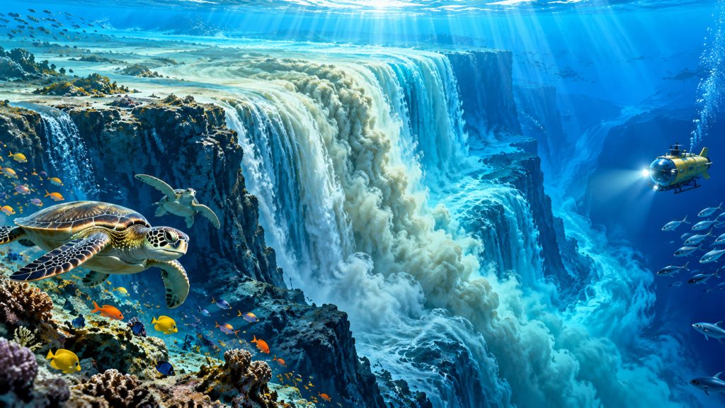
Imagine an enormous waterfall plunging thousands of meters into the depths of the ocean. There are no cliffs visible above the surface, no roaring cascades, and no clouds of spray.
Yet beneath the waves, vast masses of seawater flow down underwater slopes, creating some of the most powerful natural currents on Earth.
These extraordinary phenomena are known as underwater waterfalls.
One of the largest exists between Greenland and Iceland, where cold, dense water descends into the North Atlantic.
Meanwhile, near Mauritius, a spectacular formation creates the appearance of a giant waterfall disappearing into the ocean floor.
Underwater waterfalls reveal how temperature, salt, gravity, and seafloor geography combine to produce remarkable natural phenomena.
But not every underwater waterfall seen in photographs is a true waterfall.
What Exactly Is an Underwater Waterfall?
An underwater waterfall, sometimes called a submarine cataract, occurs when dense seawater flows downward across a steep underwater slope.
Unlike ordinary waterfalls, these currents do not fall through air.
Instead, one mass of water moves beneath another because of differences in density.
Cold water is generally denser than warm water, while saltier water is generally denser than fresher water at the same temperature.
When sufficiently dense water encounters an underwater ridge or steep slope, gravity can cause it to descend toward deeper areas.
The resulting flow may extend across enormous distances.
These underwater movements can transport far more water than even the largest waterfalls on land.
The Denmark Strait: Earth’s Largest Underwater Waterfall
The most famous example lies beneath the Denmark Strait, between Greenland and Iceland.
This enormous underwater cataract forms where dense water from the Nordic Seas flows southward into the North Atlantic.
The current descends across a massive underwater slope.
The waterfall is commonly described as having a vertical descent of approximately 3,500 meters, or 11,500 feet.
Its estimated flow can exceed 3.5 million cubic meters of water per second.
For comparison, Niagara Falls carries only a tiny fraction of that volume.
The Denmark Strait waterfall is therefore considered the largest known waterfall on Earth.
Despite its enormous scale, it remains completely invisible from the ocean surface.
How Does the Denmark Strait Waterfall Form?
The process begins in northern seas, where cold atmospheric conditions cool the surface waters.
As seawater becomes colder and denser, some of it sinks beneath surrounding water.
Salinity, the concentration of dissolved salts, also influences this process.
Ocean currents transport dense water southward toward the Greenland-Iceland region.
When this water crosses the underwater ridge separating the Nordic Seas from the North Atlantic, it begins descending along the seafloor.
The movement is an example of a gravity current, a flow driven by density differences.
As the descending water travels, it mixes with surrounding ocean water and gradually changes its characteristics.
Why Salt and Temperature Matter So Much
The ocean is not a uniform body of water.
Different regions contain water masses with distinct temperatures and salt concentrations.
These differences help drive thermohaline circulation, the movement of ocean water influenced by temperature and salinity.
Cold, salty water can sink to considerable depths.
Warmer or less salty water generally remains above denser water, depending on local conditions.
This layering allows powerful underwater currents to develop even when the sea surface appears calm.
Underwater waterfalls are particularly important because they transfer dense water from relatively shallow regions into deeper ocean basins.
Mauritius: The Famous Underwater Waterfall Illusion
One of the world’s most spectacular underwater-looking formations lies near the southwestern coast of Mauritius.
Close to the Le Morne Peninsula, turquoise water appears to plunge into an enormous dark abyss.
From above, the landscape resembles a gigantic waterfall descending through the ocean.
However, this famous feature is an optical illusion.
The effect results from the movement and distribution of sand and fine sediment across the underwater terrain.
Ocean currents transport lighter-colored material across the shallow coastal shelf toward deeper water.
The contrast between pale sediment, turquoise shallows, and dark ocean depths creates the appearance of falling water.
The Mauritius underwater waterfall is not a real waterfall of descending seawater, but a remarkable visual effect produced by seafloor geography and sediment movement.
Why the Mauritius Illusion Looks So Real
Mauritius is surrounded by an extensive underwater platform that descends toward much deeper ocean waters.
This relatively shallow region is part of the island’s continental shelf in the broad geographical sense, although Mauritius is an oceanic volcanic island rather than part of a continent.
The seafloor contains channels, slopes, and variations in sediment cover.
Ocean currents redistribute fine sand and other materials, creating striking patterns visible from above.
This movement is known as sediment transport.
When viewed from the air, the patterns resemble streams flowing toward a huge underwater drop.
The illusion is especially impressive because the ocean’s colors reinforce the appearance of depth.
Other Places Where Underwater Cascades Occur
The Denmark Strait is not the only region where dense water descends across underwater slopes.
Similar processes occur in several important marine environments.
One example is the Strait of Gibraltar, which connects the Mediterranean Sea with the Atlantic Ocean.
Mediterranean water is relatively salty because evaporation removes substantial amounts of freshwater.
Dense Mediterranean water flows westward beneath incoming Atlantic surface water.
After crossing underwater ridges, it descends into the Gulf of Cadiz.
Another example occurs around Antarctica, where extremely cold, dense water can descend from continental shelf regions toward deeper ocean basins.
These movements help redistribute water, oxygen, and dissolved substances throughout the oceans.
How Underwater Waterfalls Influence Global Climate
Underwater waterfalls play an important role in large-scale ocean circulation.
The dense waters descending through the Denmark Strait contribute to the deep branch of the Atlantic overturning circulation.
This system connects surface and deep ocean currents.
It helps redistribute heat, transport dissolved carbon, and influence global climate patterns.
Physical oceanographer M. Susan Lozier has contributed extensively to research on Atlantic overturning circulation.
Her work with international observing programs has demonstrated the importance of accurately measuring where dense ocean water forms and how it moves.
Understanding underwater currents is essential for explaining how the ocean stores and redistributes heat across the planet.
How Scientists Study Invisible Waterfalls
Because underwater waterfalls cannot usually be observed directly from above, researchers use specialized instruments.
These include deep-water sensors, autonomous vehicles, research ships, and oceanographic moorings.
Moorings are anchored systems equipped with instruments that measure water temperature, salinity, pressure, and current speed over extended periods.
Scientists also use sonar to map underwater terrain.
By combining observations with computer models, researchers can reconstruct the movement of dense water across ocean basins.
These measurements help reveal currents that would otherwise remain hidden.
Why Underwater Waterfalls Are Important for Marine Life
Underwater waterfalls also influence the environment experienced by marine organisms.
Descending currents can redistribute oxygen, nutrients, and organic material.
They help connect shallow seas with deeper ocean ecosystems.
In some regions, moving water also shapes the seafloor by eroding and depositing sediment.
These processes influence the formation of underwater habitats.
Although the largest cascades occur far from human observation, their effects are connected to the physical conditions that support marine ecosystems.
Interesting Facts
- The Denmark Strait contains the largest known waterfall on Earth, hidden completely beneath the ocean surface.
- Its estimated vertical descent reaches approximately 3,500 meters.
- The Denmark Strait overflow can transport millions of cubic meters of water every second.
- The famous underwater waterfall near Mauritius is an optical illusion created by sediment patterns and underwater topography.
- Dense Mediterranean water flows beneath Atlantic water through the Strait of Gibraltar.
- Cold Antarctic waters can descend down underwater slopes and contribute to deep-ocean circulation.
- Underwater waterfalls help transport heat, oxygen, and dissolved substances between ocean regions.
- Scientists can measure these enormous flows even though they are invisible from the sea surface.
Glossary
- Submarine Cataract — A large underwater flow in which dense water descends across a steep submarine slope.
- Density — The mass of a substance per unit volume, influencing whether different water masses sink or remain above one another.
- Salinity — The concentration of dissolved salts in water.
- Gravity Current — A fluid flow driven by differences in density under the influence of gravity.
- Thermohaline Circulation — Ocean circulation influenced by variations in water temperature and salinity.
- Optical Illusion — A visual effect in which an object or landscape appears different from its actual physical structure.
- Continental Shelf — The relatively shallow submerged extension of a continent, although similar underwater platforms may surround oceanic islands.
- Sediment Transport — The movement of sand, silt, and other particles by water, wind, or gravity.
- Overturning Circulation — Large-scale ocean circulation involving the movement and exchange of surface and deep water masses.
- Oceanographic Moorings — Anchored scientific instrument systems used to measure ocean conditions and currents over time.